

Rs 405 only/-
9907385555 asingh039@gmail.com
MP NAGAR BHOPAL
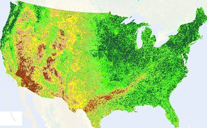
Geospatial information covering satellite information plays a vital roleas it can provide normal, predictable and target data. Distinguishing geospatial designs and measure changes that happen in space with time requires exceptional systems to be used. Different regular, monetary and organic variables impacts on the yield production of crop, yet random changes in these variables prompt loss to the farmers. These losses and various dangers/risks can be evaluated when proper numerical or measurable strategies are connected on information identified related to soil, climate and past year crop yield. This research work displays a review on various models that are utilized for forecasting crop yield productionusing statistical data and geo spatial data
| IEEE Base Paper | |||
| Doc | Document File | ||
| Source Code | Complete Code Files |